Geodetic engineering
Level: Bachelor
Type: Main
Geodesy
Program Code: 6-053201
Degree Programs
• Bachelor of Geodesy Engineering (Full-time): 4 years
• Bachelor of Geodesy Engineering (Evening program): 2.5 years
• Master’s Program in Geodesy Engineering: 1.5 years
• Doctoral Program in Geodesy Engineering: 3 years
Admission Requirements
For Full-time Students:
• Must have completed secondary education.
• Must have taken the General Entrance Examination and achieved at least the minimum passing score.
For Evening Program Students:
• Must already hold a Bachelor’s degree.
Entrance Exam Subjects for the Bachelor’s Program:
• Mathematics
• Physics
• Mongolian Language
• Foreign Language
Program Goal
The Bachelor’s Program in Geodesy Engineering aims to train specialists who possess:
- Strong professional and engineering knowledge and analytical thinking,
- The ability to work effectively in professional teams,
- High standards of communication, ethics, and discipline, and
- The capacity for continuous personal and professional growth.
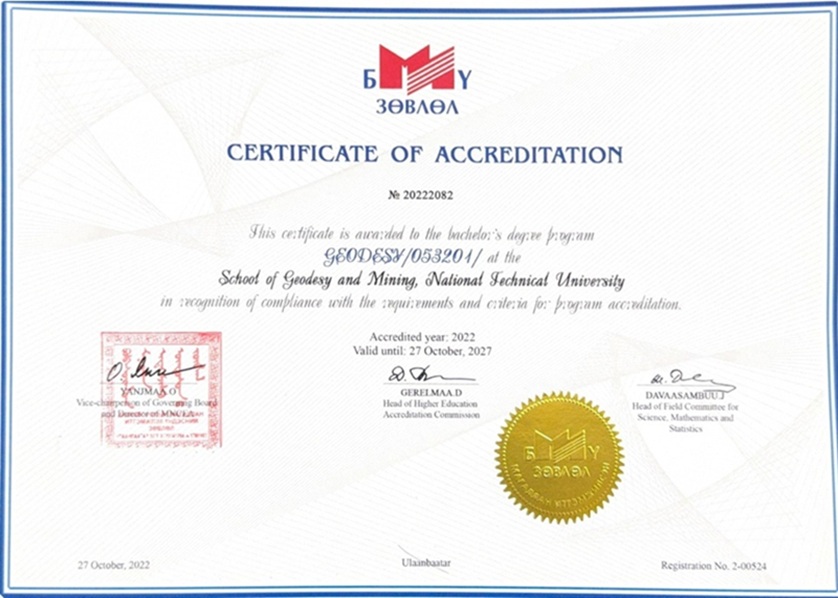
The Geodesy Engineering Bachelor’s program was accredited in 2022.
Labor Market Demand
In recent years, the demand for geodesy engineers has significantly increased. Students who pursue this major are highly employable - with many securing jobs even during their studies or immediately after graduation.
Career Opportunities
• Public and private companies engaged in geodetic production and services
• Construction and bridge-building companies
• Railway development projects and related organizations
• Engineering infrastructure and network companies
• Energy sector organizations
• Mining companies
• Land management and cadastral firms, working as geodetic engineers
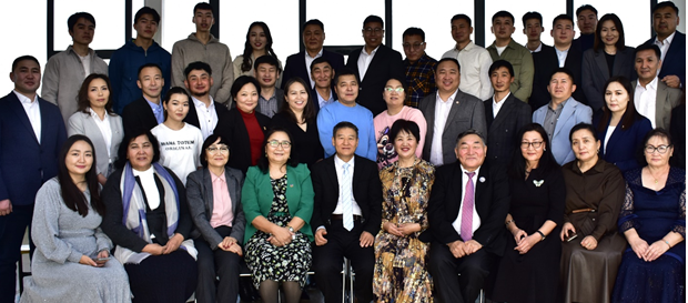
Faculty and Academic Staff
The program is delivered by a dedicated team of experienced professors, researchers, and professional engineers, committed to providing high-quality education and practical training in the geodetic sciences.
Academic Activities
 Students participate in various academic and field activities, such as:
• Field measurements and practical surveying sessions
• Mapping and spatial data analysis projects
• GIS-based (Geographic Information System) applications
• Collaborative research and student projects